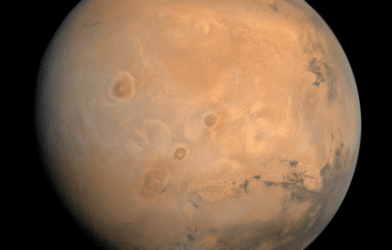
Ready for an otherworldly hike on Mars? Bring a few snacks, your favorite playlist, some oxygen… and a map. Wouldn’t want to get lost on the Red Planet, now, would you? Believe it or not, you have the opportunity to explore Mars right now, with just a few clicks.
The Mars 2020 Perseverance rover’s landing site could be the next big tourist destination, thanks to a new interactive map. If you’ve ever wondered what it’s like to hike through the Martian landscape, now you can explore the surface of Mars without even leaving your desk.
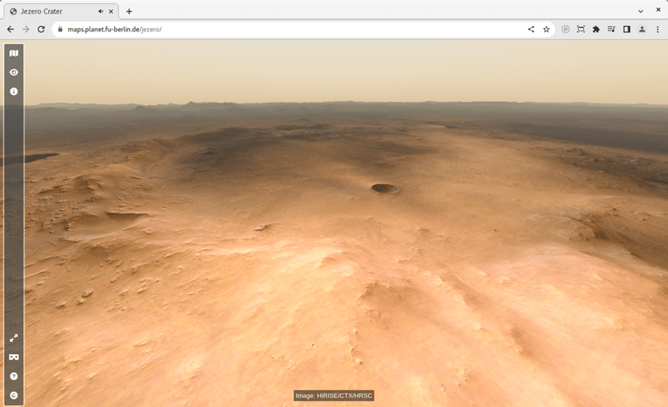
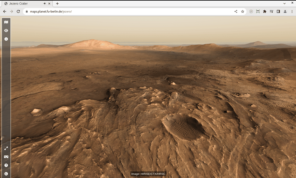
The map, created by Sebastian Walter of Freie Universität Berlin, provides a panoramic view of the landing site and shows how far the rover travels during its mission. The tool allows virtual hikers to zoom in and out, pan across Mars, and explore the landscape. There’s also a 360-degree panorama showing the rover’s view from its landing site.
You’ll be getting a feel for what it will be like when you go there for real.
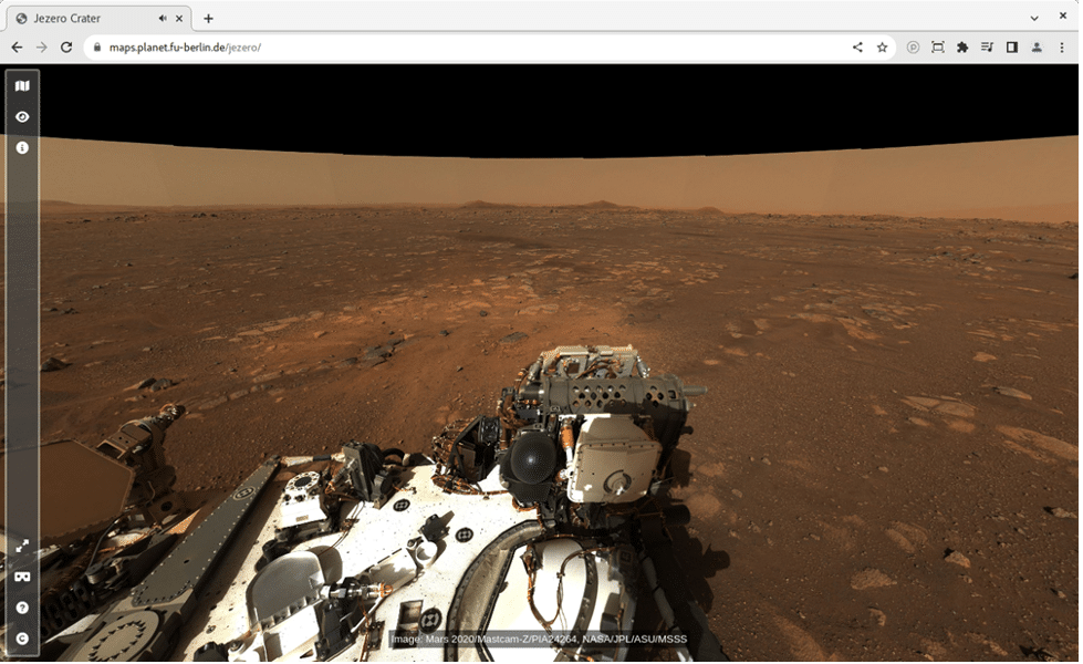
The Jezero Crater is a bed of ancient history, scientists believe the area was abundant with water, perhaps even an ancient river delta. Rocks found within the crater are quite ancient — as many as 4.1 billion years old — dating back to when Mars was a warmer, wetter place than it is today. These rocks can still be found all over the 28-mile-wide crater.
Walter’s map also includes information about surface features, such as ridges and valleys. The details around the area where the Perseverance rover landed start to come to life: boulders, dunes, cracks in rocks — everything you’d want if you were planning on taking a hike through it yourself.
“The map is the perfect tool for planning a future visit to Mars, with an interactive interface where you can choose from different available base datasets. Some of the slopes are pretty steep, so watch out for those if you want to avoid too much oxygen consumption!” Walter says in a statement.
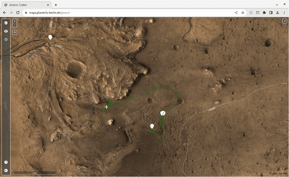
“To get a real feeling of what to expect on your future Mars trip, you can click on one of the waypoint marker symbols to enter either a fullscreen 3D view or, if you have a Virtual Reality setup, to enter a fully immersive environment,” he adds. “You can even listen to the sounds of the rover if you stand close by, but please don’t touch it – otherwise, you would contaminate the probes.”
Thanks to the Hi-Resolution Stereo Camera (HRSC), we can piece together a better view of where we can take ourselves. The Martian plains and rocky outcroppings along with the steep slopes make this for an intensive hike so you’ll want to bring a couple of oxygen bottles.
